
Drone Survey
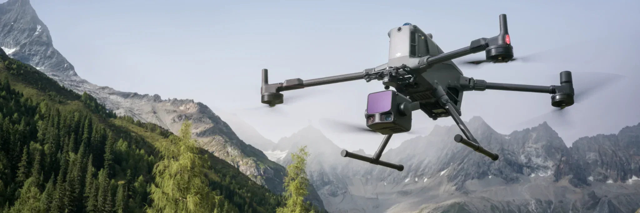
Lakeview provides professional drone mapping and survey services using the DJI Matrice series aircraft. These enterprise drone platforms are designed for commercial operations and can carry a range of specialist payloads for mapping, inspection, thermal work, and data collection.
The DJI Matrice 300 RTK supports multiple enterprise payloads, including the Zenmuse H20 series and other specialist sensors, while the Matrice 350 RTK continues DJI’s enterprise platform with improved transmission, battery systems, safety features, and payload capability.
Aerial Mapping, Survey, and Inspection Capabilities
Aerial mapping
High-resolution aerial imagery for farms, forestry blocks, construction sites, infrastructure, and rural properties.
Survey-grade data capture
RTK-supported flights for accurate georeferenced imagery and repeatable survey missions.
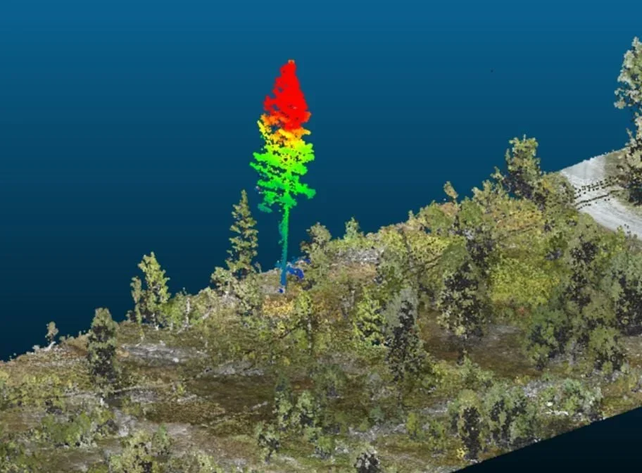
LiDAR mapping
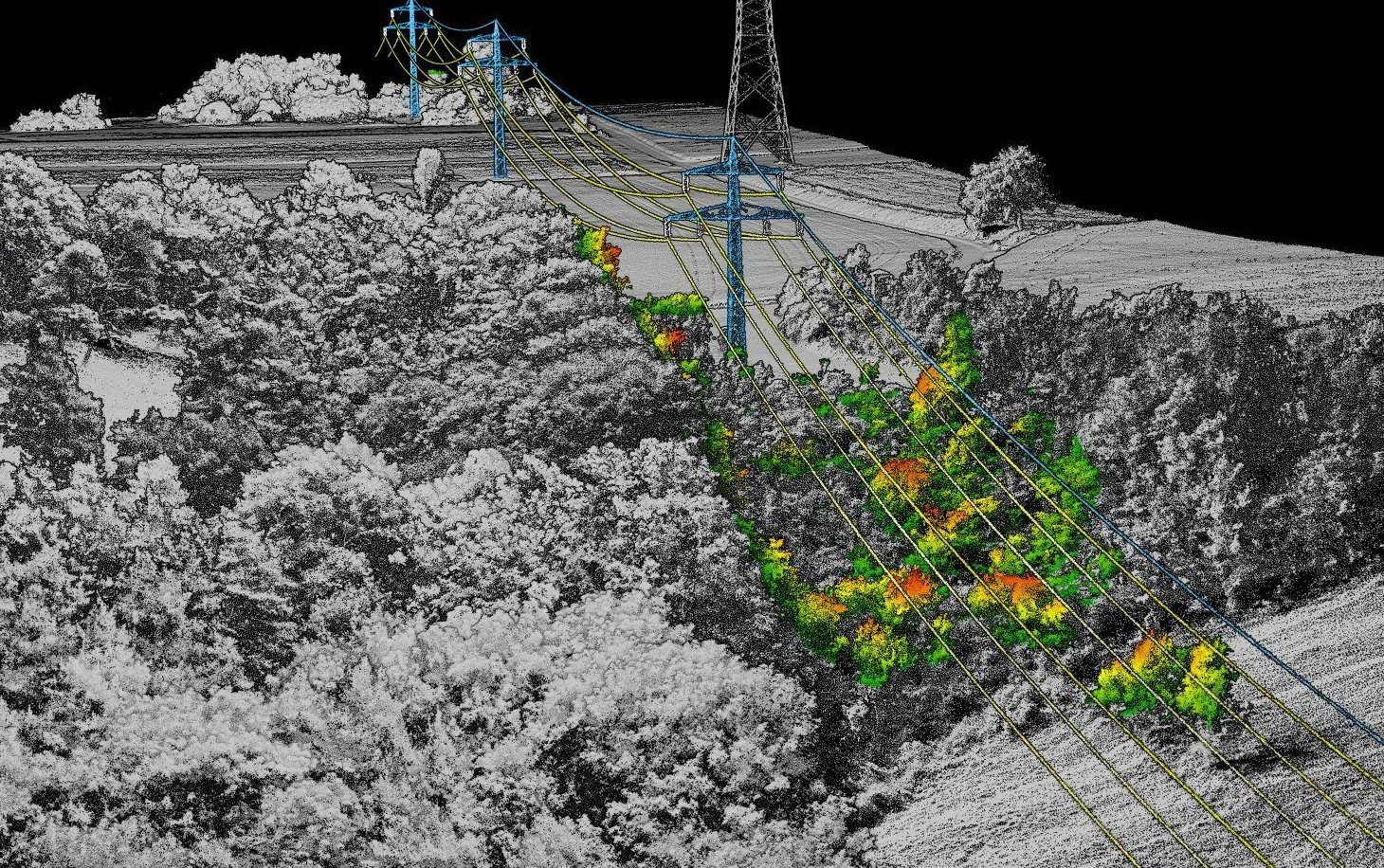
LiDAR capture for terrain, vegetation, corridors, earthworks, forestry, and infrastructure environments.
Photogrammetry
Overlapping aerial imagery can be processed into orthomosaics, 3D models, contours, and digital surface models.
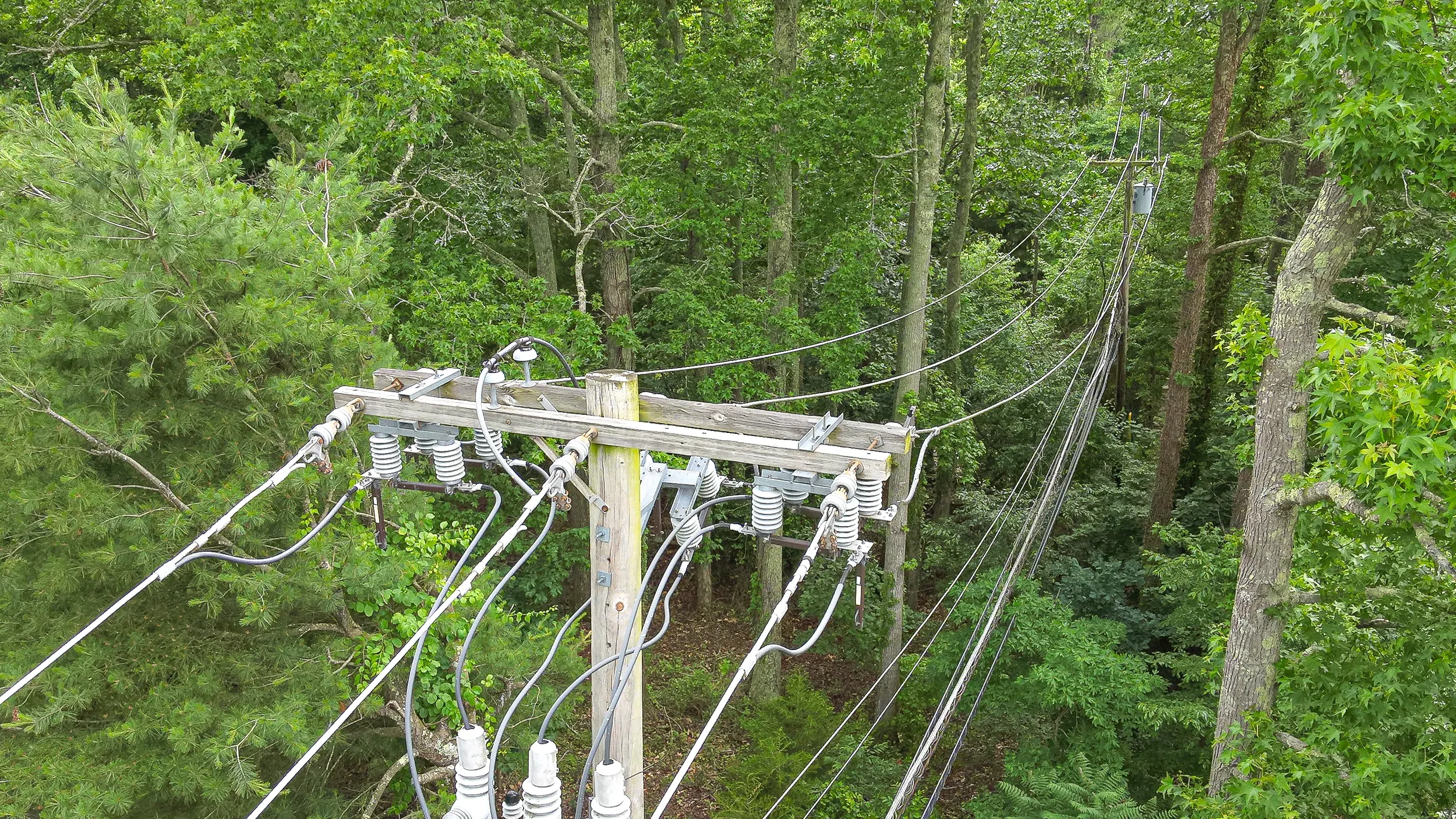
Thermal and inspection work
Thermal and zoom camera payloads can be used for asset inspections, stock location, infrastructure checks, search support, and environmental monitoring. The DJI H20T payload combines wide, zoom, thermal, and laser rangefinder capability in one sensor package.
Drone mapping gives clients a clear view of their land, assets, and work sites. Whether you need a one-off aerial map, repeat survey flights, LiDAR data, or detailed inspection imagery, we can provide practical data capture solutions suited to the job.
Our Matrice series drones allow us to operate with professional-grade stability, RTK positioning, and payload flexibility, helping deliver reliable data for planning, reporting, compliance, and operational decision-making.
Common Applications:
Farm and station mapping
Forestry and vegetation surveys
Powerline and corridor inspection
Slip, erosion, and land movement monitoring
Construction progress mapping
Stock water, fencing, and infrastructure checks
River, wetland, and environmental monitoring
Quarry, stockpile, and earthworks surveys
Thermal inspection and search support
Pre-job planning for helicopter and ground operations